
PostGIS
Verified working Aug 3, 2026
Spatial database features for PostgreSQL-backed GIS applications.
PostGIS is an open-source extension that adds geospatial storage, indexing, and analysis capabilities to PostgreSQL. It supports geometry and raster workflows, including spatial queries, distance and area calculations, buffering, intersections, geocoding, and integration with common GIS and mapping tools.
Why it stands out
- Builds geospatial capability directly into PostgreSQL rather than requiring a separate spatial database.
- Covers both vector geometry and raster workflows, which is broader than many lightweight spatial extensions.
- Works with a large ecosystem of GIS, web mapping, BI, and server tools.
- Provides extensive official documentation, cheat sheets, training material, and community support channels.
- Maintained as an OSGeo project with visible release notes, source code, compatibility information, and EOL guidance.
Good to know
- Requires PostgreSQL and supporting geospatial libraries; it is not a standalone desktop GIS application.
- Productive use generally assumes comfort with SQL, database administration, and spatial data concepts.
- Some newer capabilities depend on specific versions of dependencies such as GEOS, PROJ, or SFCGAL.
- Beta and alpha releases listed on the site are intended for testing rather than conservative production deployments.
Under the radar: Check the version compatibility and EOL pages before planning an upgrade, since PostgreSQL, GEOS, PROJ, and optional SFCGAL versions can affect which PostGIS features are available.
Photos
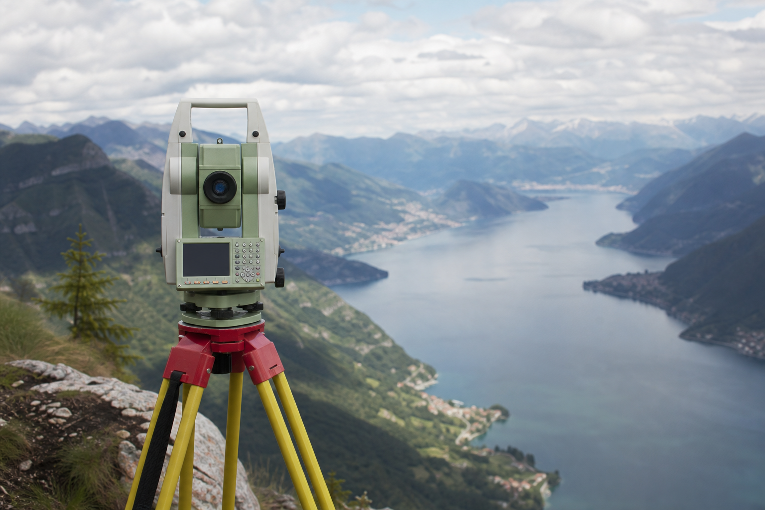
GIS developers and data engineers can add location-aware querying to existing PostgreSQL databases. Store points, lines, polygons, 3D geometries, and raster layers in a relational database. Run spatial joins, proximity searches, buffers, overlays, and measurement calculations with SQL. Serve PostGIS-backed layers through tools such as QGIS, GeoServer, MapServer, ArcGIS, or Tableau.
Spatial data types for 2D and 3D geometries; spatial indexing; SQL functions for measurement, filtering, overlays, buffers, and geometry processing; raster storage and processing; geocoding and reverse geocoding functions; multilingual manuals, cheat sheets, training materials, mailing lists, chat, and source-code access.
Alternative listings
Desktop GIS focused on geoscientific and terrain analysis.
Mapping, geospatial & alternative cartography toolsSAGA GIS is a geospatial analysis project for working with scientific mapping and earth-surface data. The site functions mainly as a gateway to the SAGA project information and its SourceForge project page for downloads and updates.
0 votesVisit siteCollaborative cloud GIS for maps, spatial apps, and dashboards.
Mapping, geospatial & alternative cartography toolsFelt is a browser-based GIS platform for creating maps, geospatial dashboards, and lightweight spatial applications. It supports file uploads, cloud database connections, geocoding, styling, sharing controls, comments, embeds, exports, and developer workflows through a Python SDK and QGIS plug-in.
0 votesVisit site
Similar sites elsewhere
- SpatiaLite — gaia-gis.it/fossil/libspatialite
- Apache Sedona — sedona.apache.org
- GeoMesa — geomesa.org
1 of 5