TrueSize
Verified working Oct 3, 2026
Compare country outlines on a map that corrects Mercator distortion.
TrueSize is an interactive map for checking how large countries and regions are relative to one another when projection distortion is removed. Users can search for places, place them on the map, and compare their apparent footprint across latitudes using map or globe views.
Why it stands out
- Focuses specifically on the common Mercator-size misconception rather than general map browsing.
- Supports both country and region comparisons, not just sovereign states.
- Includes a globe view alongside the flat map for projection-aware exploration.
- Offers broad language support for an educational visualization tool.
Good to know
- Small-screen use may require portrait orientation; the site warns that landscape leaves too little vertical space.
- It is mainly a visual comparison tool, not a full GIS platform for precise measurement or spatial analysis.
- The comparison depends on simplified outlines, so it should not replace authoritative boundary or area datasets.
Under the radar: Press K to jump straight to search instead of opening it with the mouse.
Photos
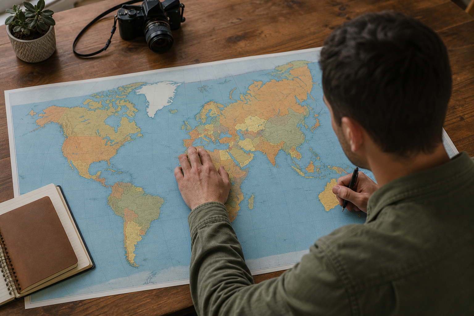
Geography teachers and students can show why world-map sizes mislead. Compare a country near the equator with one closer to the poles. Build quick visual examples for presentations about map projections. Explore regional scale differences before travel, study, or trivia discussions.
Interactive country and region size comparison, searchable place selection, map and globe navigation, tutorial and example pages, appearance controls, and a multilingual interface covering many major languages.
Alternative listings
Open-source desktop GIS for mapping, editing, and spatial analysis.
Mapping, geospatial & alternative cartography toolsQGIS is a free, open-source geographic information system for building maps, editing spatial layers, running analysis, and preparing print or digital map outputs. It supports professional cartography, digitizing tools, automated processing workflows, reports, and integration with many geospatial formats and web standards.
0 votesVisit siteCollaborative cloud GIS for maps, spatial apps, and dashboards.
Mapping, geospatial & alternative cartography toolsFelt is a browser-based GIS platform for creating maps, geospatial dashboards, and lightweight spatial applications. It supports file uploads, cloud database connections, geocoding, styling, sharing controls, comments, embeds, exports, and developer workflows through a Python SDK and QGIS plug-in.
0 votesVisit site
Similar sites elsewhere
- The True Size Of — thetruesize.com
- MapFight — mapfight.xyz
1 of 5