WiFiNYC.App
Verified working Oct 3, 2026
A map-based finder for New York City’s public Wi-Fi kiosks.
WiFiNYC.App is an independent web locator for LinkNYC kiosks and Link5G smart poles across New York City. It aggregates public location data into a map with borough filters, node types, amenity indicators, and basic safety guidance for using public Wi-Fi.
Why it stands out
- Focuses specifically on NYC’s municipal street-level connectivity network rather than general crowd-sourced hotspots.
- Separates older LinkNYC kiosks from newer Link5G smart poles.
- Includes borough-by-borough hotspot totals, making coverage gaps easier to understand.
- Combines location lookup with practical notes on Wi-Fi network safety and kiosk capabilities.
- Uses NYC public data rather than relying only on user-submitted hotspot reports.
Good to know
- Coverage is limited to New York City and mainly to LinkNYC / Link5G infrastructure.
- Availability depends on the accuracy and freshness of the underlying NYC Open Data records.
- A listed kiosk may still be temporarily offline, damaged, blocked, or affected by local conditions.
- Some LinkNYC Wi-Fi options are public hotspots, so sensitive activity should be handled carefully.
Photos
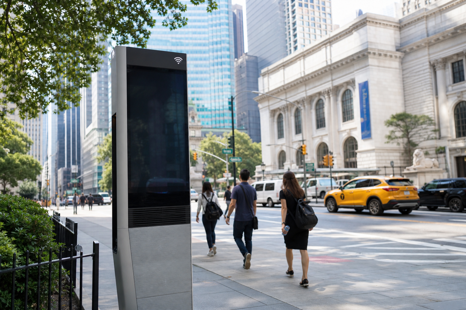
NYC commuters, students, visitors, and mobile workers can find nearby public internet access or charging without relying on cellular data. Locate LinkNYC kiosks before heading to an unfamiliar neighborhood. Check whether nearby nodes are standard kiosks or Link5G poles. Compare public Wi-Fi coverage by borough. Review safer connection options before using a street-side hotspot.
Interactive locator map for LinkNYC kiosks and Link5G poles; filters by borough and infrastructure type; coverage counts for all five boroughs; indicators for amenities such as gigabit Wi-Fi, USB charging, emergency buttons, 5G nodes, and edge-compute support; saved-kiosk and add-to-phone options; public Wi-Fi safety notes.
Technical Notes
- Underlying kiosk and pole records are synchronized from NYC Open Data / Department of Information Technology & Telecommunications location data.
Alternative listings
A community map for finding and documenting free wireless networks.
WIFI ServicesOpenWiFiMap is an open-source HTML5 map for browsing free network access points, with an emphasis on community networks such as Freifunk. The project is MIT-licensed, accepts contributions on GitHub, and is designed to work in mobile browsers as well as on desktop web browsers.
0 votesVisit siteCrowdsourced Wi‑Fi passwords for travel hubs and public venues.
WIFI ServicesGetWifi is a searchable directory of user-submitted Wi‑Fi network names and passwords for airports, hotels, cafés, libraries, malls, transport hubs, and other public spaces. Entries can be voted on by the community and show recent verification status, helping travelers prioritize credentials that are more likely to still work.
0 votesVisit site

Similar sites elsewhere
- LinkNYC — link.nyc
- NYC Open Data — data.cityofnewyork.us
- WiFi Map — wifimap.io
- Instabridge — instabridge.com
1 of 2