WiGLE
Verified working Oct 3, 2026
A crowdsourced map and database of Wi‑Fi and cellular observations.
WiGLE catalogs wireless networks discovered by contributors and displays them through searchable maps, statistics, and historical graphs. Users can look up networks by location, SSID, BSSID, date range, and network type, or contribute their own wardriving results through uploads and the Android app.
Why it stands out
- Built around a long-running public database dating back to the early 2000s.
- Combines Wi‑Fi mapping with some cellular network categories rather than only hotspot listings.
- Search supports technical identifiers such as BSSID as well as map-based browsing.
- Includes historical graphs that make the database useful for trend analysis, not just lookup.
- Provides a removal request process for access point owners concerned about inclusion.
Good to know
- Coverage depends on volunteer submissions, so areas may be incomplete or outdated.
- Individual SSIDs are only visible after zooming in, which limits broad-area browsing detail.
- The map reflects observed broadcasts, not necessarily current availability or permission to use a network.
- Some functions appear to require an account, especially contribution and personalized views.
Under the radar: Use the date-range filters when searching a location or BSSID; older observations can otherwise make a network appear relevant even if it has not been seen recently.
Photos
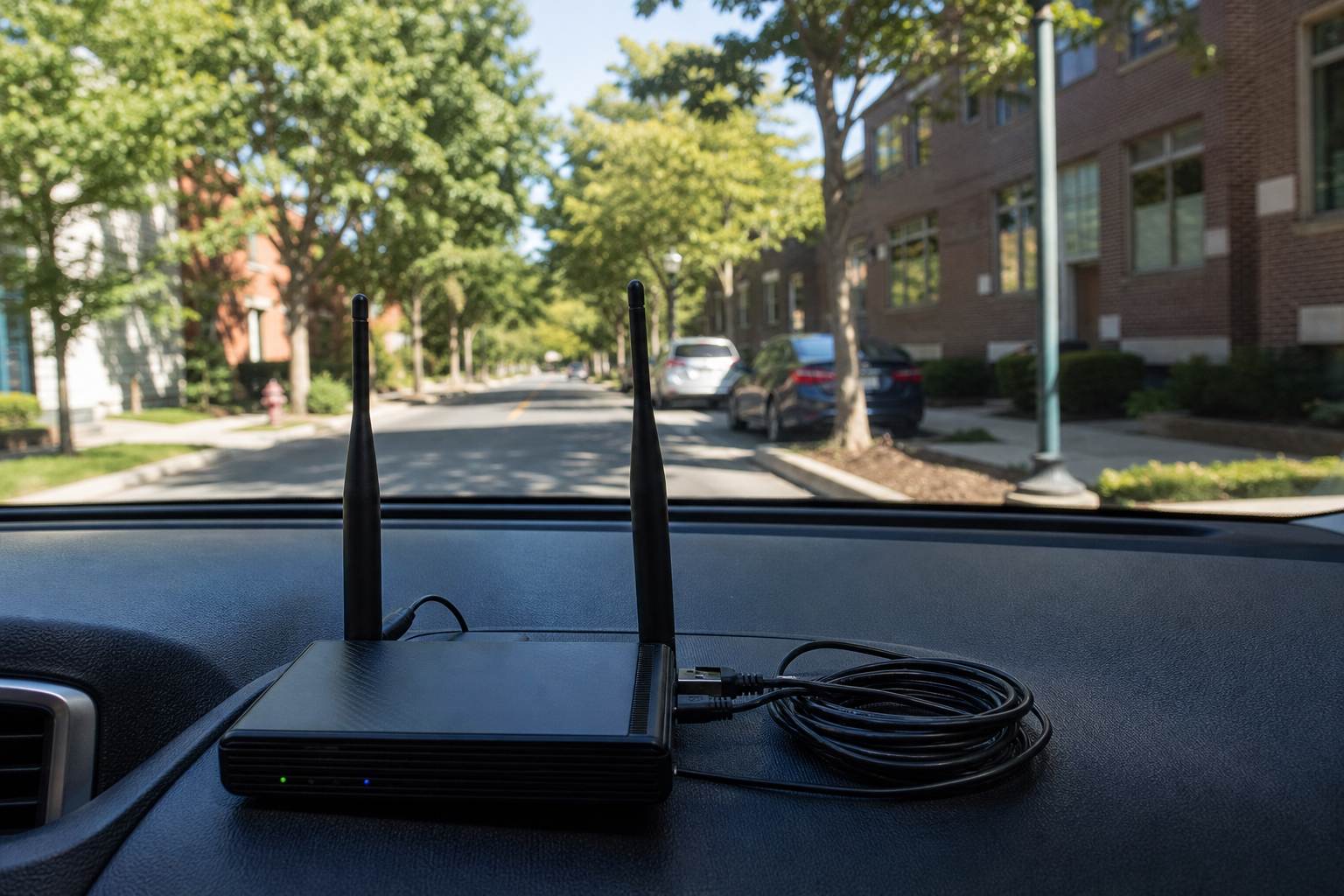
Wireless researchers and wardrivers can search and contribute observed Wi‑Fi and cellular network data at large scale. Check how wireless network density varies across an area before a survey or field test. Look up a known SSID or BSSID to see whether it appears in contributed observations. Explore long-term trends in Wi‑Fi counts and encryption usage. Upload collected scan data from mobile or wardriving tools to expand the public map.
Interactive wireless network map, basic and advanced search, SSID/BSSID/location/date filters, contributor uploads, Android app, statistics dashboards, historical graphs for Wi‑Fi growth and encryption, forums, downloads, and a documented API section.
Technical Notes
- A public API section is listed for programmatic access to WiGLE data; authentication or usage limits are not clear from the extracted page.
Alternative listings
Open-source desktop GIS for mapping, editing, and spatial analysis.
Mapping, geospatial & alternative cartography toolsQGIS is a free, open-source geographic information system for building maps, editing spatial layers, running analysis, and preparing print or digital map outputs. It supports professional cartography, digitizing tools, automated processing workflows, reports, and integration with many geospatial formats and web standards.
0 votesVisit siteCollaborative cloud GIS for maps, spatial apps, and dashboards.
Mapping, geospatial & alternative cartography toolsFelt is a browser-based GIS platform for creating maps, geospatial dashboards, and lightweight spatial applications. It supports file uploads, cloud database connections, geocoding, styling, sharing controls, comments, embeds, exports, and developer workflows through a Python SDK and QGIS plug-in.
0 votesVisit site


Similar sites elsewhere
- CellMapper — cellmapper.net
- OpenCelliD — opencellid.org
- WiFi Map — wifimap.io
1 of 3