WikiShootMe
Verified working Oct 3, 2026
A map for finding Wikidata places that still need photos.
WikiShootMe is an interactive map that combines Wikidata items, Commons images, and location data to highlight nearby subjects that may need photographs. It is especially useful for Wikimedia contributors who want to improve item coverage by adding or linking images to mapped places.
Why it stands out
- Targets the specific gap between mapped Wikidata items and available Commons photography.
- Uses live Wikimedia ecosystem data rather than a closed place database.
- Lets experienced users inspect or adjust the query logic behind what appears on the map.
- Hosted on Wikimedia Toolforge, aligning it closely with Wikimedia contribution workflows.
Good to know
- Results depend on Wikidata items having coordinates and reasonably complete metadata.
- The interface is contributor-oriented and may feel cryptic to users unfamiliar with Wikidata, Commons, or SPARQL.
- Live map loading requires an internet connection and can be affected by Wikimedia query or Toolforge availability.
Under the radar: If the map is cluttered with obsolete subjects, enable the option to hide destroyed or dissolved items before choosing places to photograph.
Photos
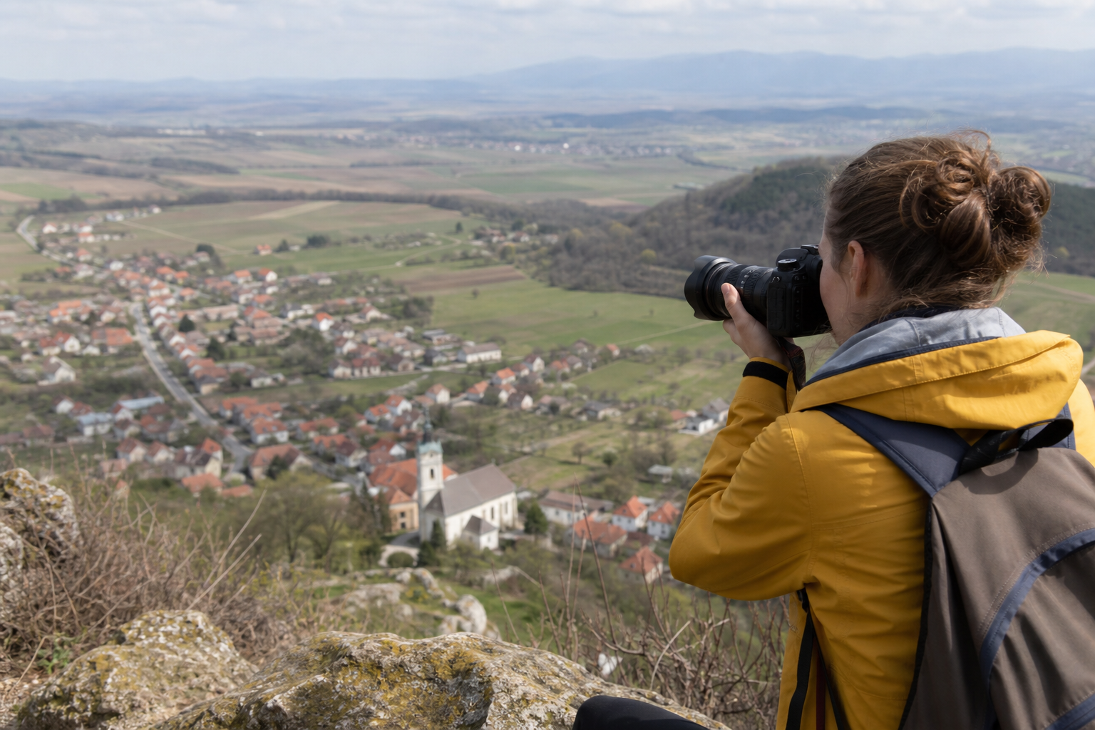
Wikimedia photographers and Wikidata editors can find nearby mapped items that lack images or need cleanup. Plan a local photo walk around monuments, buildings, parks, or other Wikidata-linked places. Check whether a Commons image is already near a Wikidata item before uploading or linking a new one. Filter out destroyed or dissolved items when focusing on subjects that still exist.
Interactive location-based map, Wikidata-backed item markers, Commons image overlays, dark mode, editable SPARQL-style query area, filtering for destroyed or dissolved items, and contribution actions for creating or updating linked data.
Alternative listings
Open-source desktop GIS for mapping, editing, and spatial analysis.
Mapping, geospatial & alternative cartography toolsQGIS is a free, open-source geographic information system for building maps, editing spatial layers, running analysis, and preparing print or digital map outputs. It supports professional cartography, digitizing tools, automated processing workflows, reports, and integration with many geospatial formats and web standards.
0 votesVisit siteCollaborative cloud GIS for maps, spatial apps, and dashboards.
Mapping, geospatial & alternative cartography toolsFelt is a browser-based GIS platform for creating maps, geospatial dashboards, and lightweight spatial applications. It supports file uploads, cloud database connections, geocoding, styling, sharing controls, comments, embeds, exports, and developer workflows through a Python SDK and QGIS plug-in.
0 votesVisit site

Similar sites elsewhere
- OpenStreetMap — openstreetmap.org
- MapComplete — mapcomplete.org
- Mapillary — mapillary.com
- Wikidata Query Service — query.wikidata.org